You have decided to go for a ride on the green roads: direction the Alma river. It is high up in Martinique, along the Route de la Trace, not far from the Balata Garden and the Sacré-Cœur church. The site lies on the borders of Fort-de-France and Fonds-Saint-Denis.
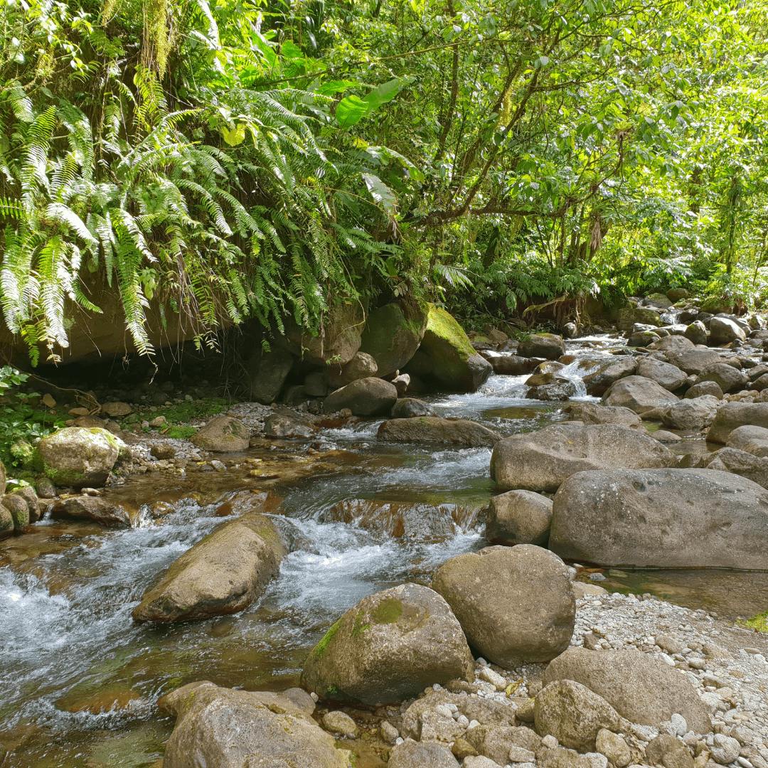
This river is also known as the White River. The route takes you into the heart of an exceptional humid forest, with its pools and waterfalls.
Discover 97 Authentic Activities to Explore in Martinique!
Unforgettable adventures await you - whether with family, as a couple, with friends, or for unusual discoveries. Find the perfect activity for every moment!
Easy and Secure Booking
How to get to the Balata river?
From Fort-de-France, join the Route de la Trace. This road crosses the island from its main town to Ajoupa-Bouillon. It takes you to the wildest part of the island.
Go up the road to the Alma bridge. The cars stopped at the bend in the road, especially at weekends, will help you find the starting point. Park after the bridge, near the ONF carbet (Alma reception area): the trail starts just behind it, slightly to the right. The first pools are visible from the road. A car is the most practical way to get to the site: think about renting a car in Martinique.
Some information about the Balata River in Martinique
The path to the Alma river is free of charge. A guide is not mandatory for walking up the river, but is recommended for the canyon. However, we advise you to ask local people for advice before going there. Going in rainy weather or after heavy rainfall is not recommended: floods can be fast. Here is what to do in Martinique when it rains.
The first pools, visible from the road, are easy to reach. Walking up the river, however, is reserved for sporty walkers who are comfortable in the water: slippery rocks, cold water, sections to swim or climb, and fixed ropes that are sometimes missing. It is not recommended for young children.
The complete ascent of the river with its pools takes about 3 hours round trip, sometimes 4 depending on your pace.
What to expect with the Balata River and its waterfall?
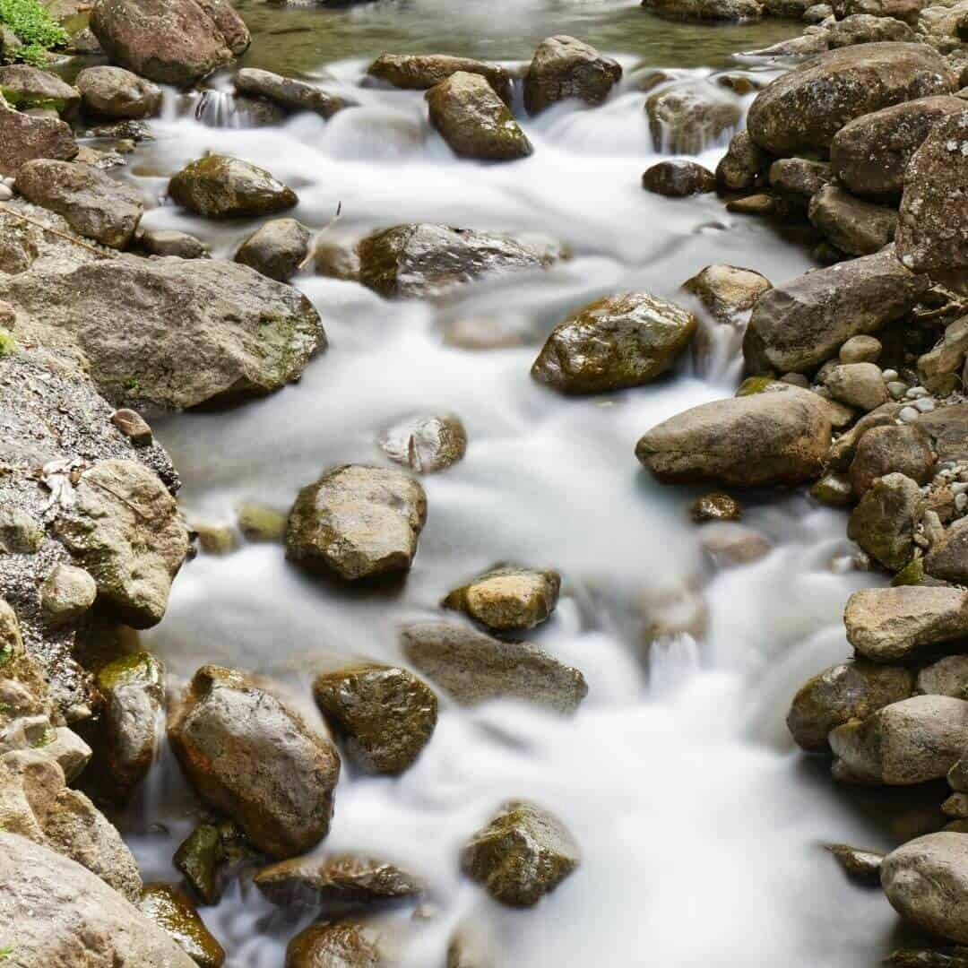
Here you are on the banks of this river with small white rocks.
Eager for canyoning? The Alma canyon is for experienced practitioners only: allow about 6 hours in all (approach from the Plateau Boucher, descent with a 40 metre waterfall, return). Go with a state-qualified guide. For a supervised descent, see our canyoning trips in Martinique. For the more or less sporty hikers, be satisfied with the descent of the river. Why not jump from pool to pool (real natural thalasso baths!).
Finally, you can also choose not to do the whole hike and to have a picnic. Before swimming, check the water quality on the official site baignades.sante.gouv.fr: the Alma bridge site is monitored by the ARS (regional health agency).
In the wild and mountainous heart of the island, you may have the chance to meet a small inhabitant of the local fauna: the mountain whistler (or Rufous-throated solitaire), a bird of the high-altitude forests of the Lesser Antilles, also found in Dominica, Saint Lucia and Saint Vincent. Want another summit? Discover Mount Pelée, the best hikes in Martinique, the Jesuits' Trail hike or the climb to Piton Lacroix.
List of waterfalls in Martinique
- The Absalon waterfall in Martinique
- The Saut du Gendarme waterfall
- The Waterfall and hike in the heart of Bouliki
- The Dlo Ferré hot spring
- The waterfall of Anse Couleuvre
- The Bô La Riviè waterfall
- La Cascade Dany
- Didier's Waterfall
- The Cascade of Kings (Cascade des Rois)
- The Gorges de la Falaise
- The case of Saut Babin
- Alma waterfall
The city of Fonds-Saint-Denis in 4 questions
790 habitants
Area: 24 km2
Density: 30 km2
- The famous Saut du Gendarme waterfall
- The former observatory of Morne des Cadets, registered as a historical monument in accordance with the prefectural decree n° 2012-116-0002 of April 25, 2012, labeled "heritage of the 20th century" on May 12, 2015
Le Bourg
97250 Fonds-Saint-Denis
téléphone: +596 55 88 88
Discover 97 Authentic Activities to Explore in Martinique!
Unforgettable adventures await you - whether with family, as a couple, with friends, or for unusual discoveries. Find the perfect activity for every moment!
Easy and Secure Booking